
San Benito County · Alvarado (1836–1842)
Rancho Santa Ana Y Quien Sabe (1839)
Granted 1839 by Gov. Alvarado to Manuel Larios and Juan Anzar. Present-day San Benito County. 48,822 acres. U.S. land case SD 258: Confirmed.
- Granted
- 1839 by Governor Alvarado
- Grantee
- Manuel Larios and Juan Anzar
- Size
- 48,822 acres
- County
- San Benito County, California
- Period
- Alvarado (1836–1842)
- U.S. land case
- SD 258, Board of Land Commissioners, 1852
- Adjudication
- Confirmed
- U.S. patent
- issued to Manuel Larios et al, May 1, 1860, 48,822.60 acres, General Land Office patent no. 237
Open Santa Ana Y Quien Sabe on the interactive boundary map, where the grant is drawn against its neighbours.
Diseños
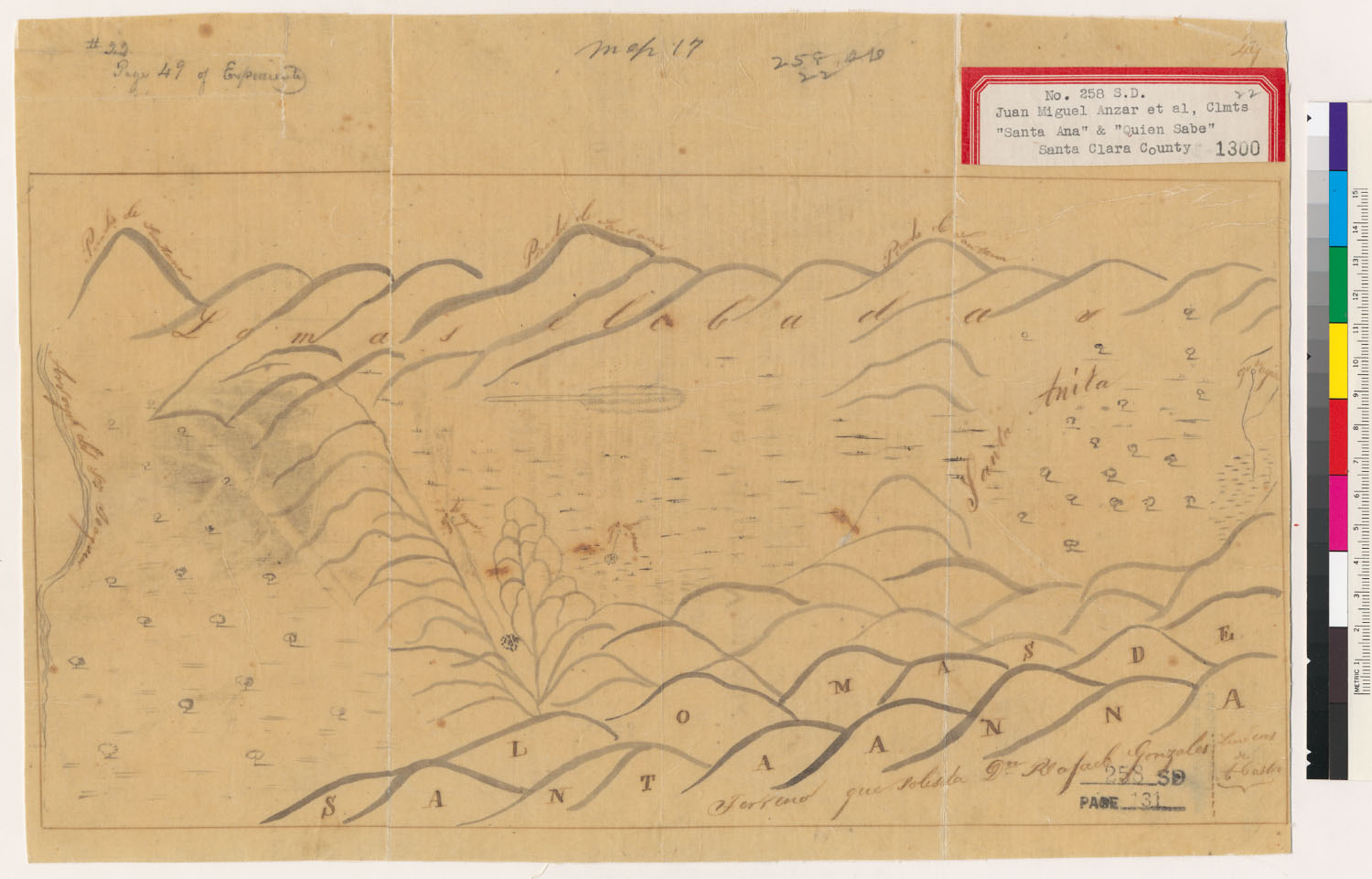
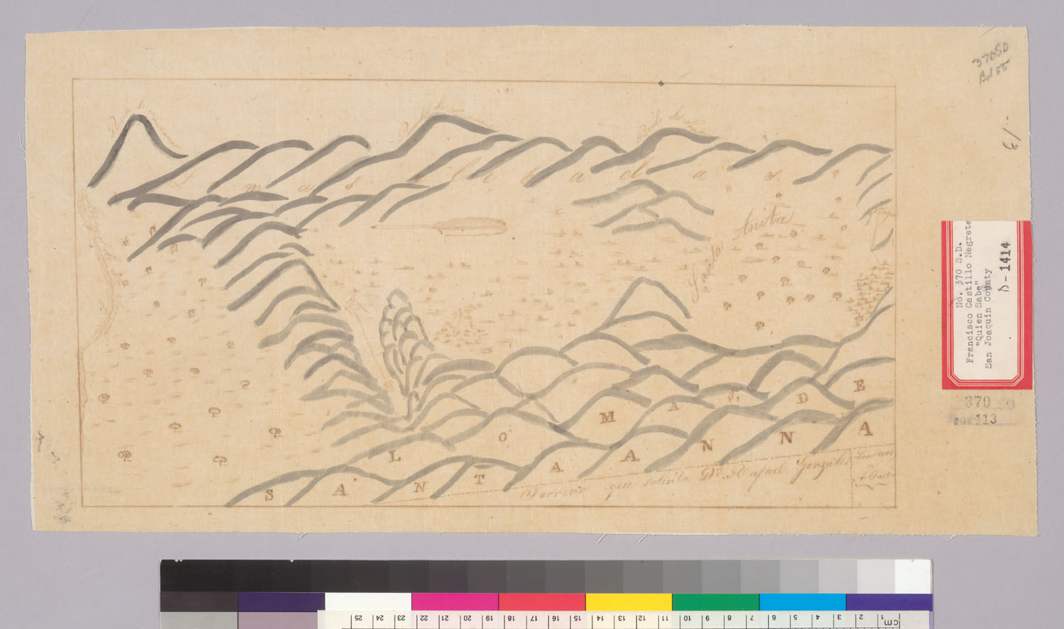
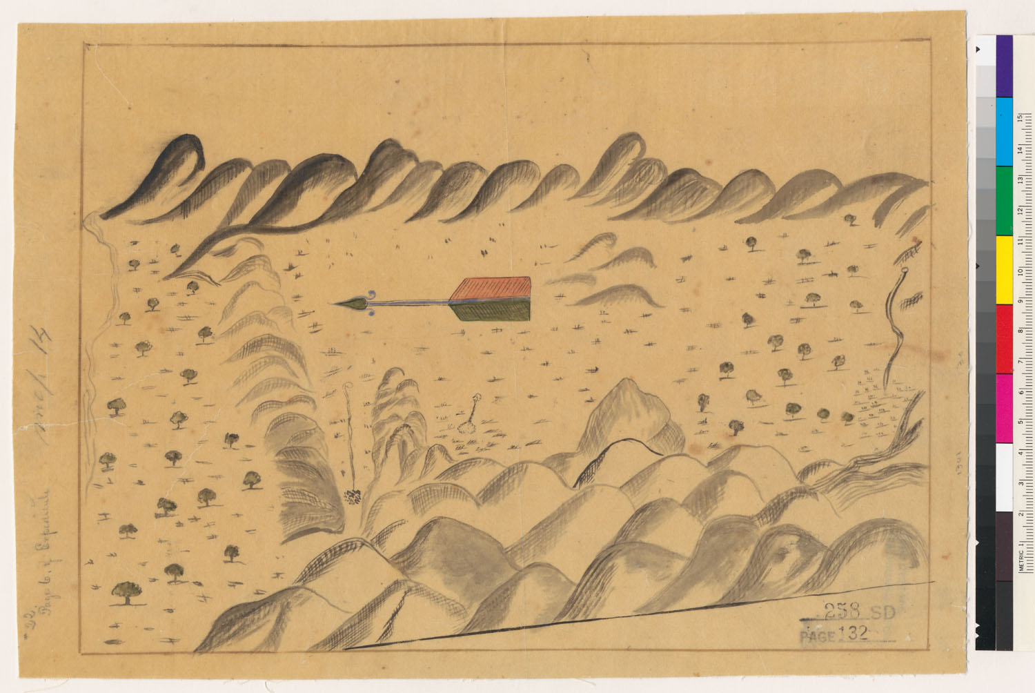
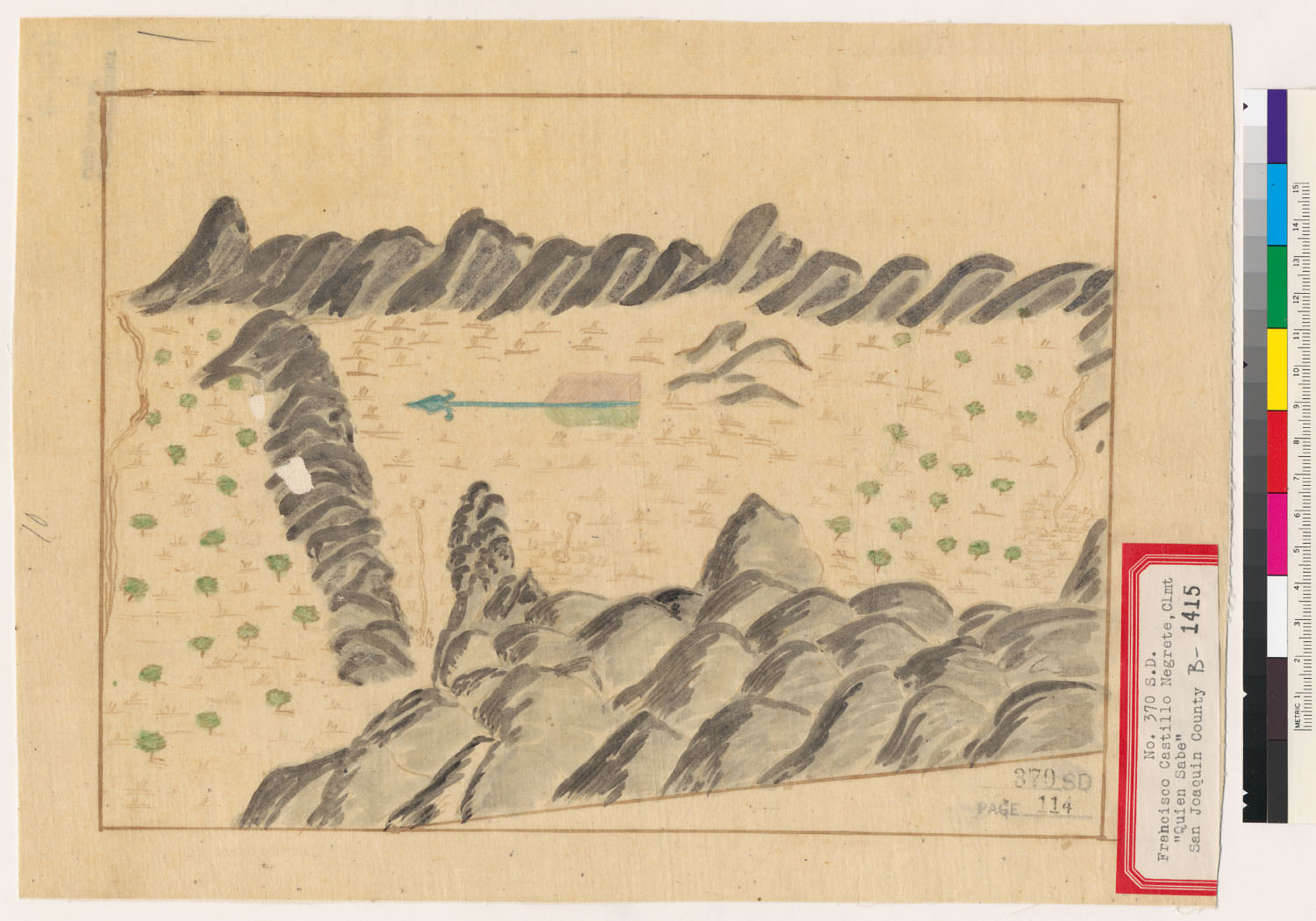
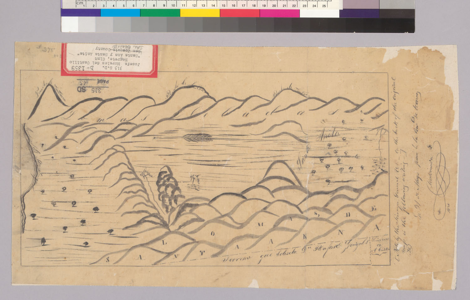
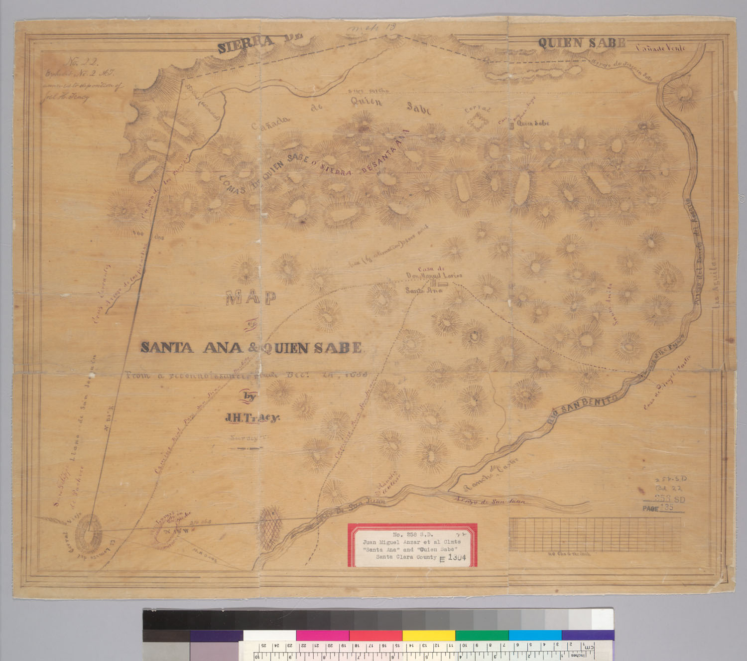
The hand-drawn grant maps filed with this claim (6 held).
Sources
- Boundary & land-case data: ECAI/UCSD Spanish & Mexican Land Grants (via the California Land Grants ArcGIS project)
- Land case file SD 258, Bancroft Library (digicoll)
Other grants in San Benito County
- San Joaquin (1837)
- Lomerias Muertas (1842)
- Los Aromitas Y Agua Caliente (1835)
- Bolsa De San Felipe (1837)
- Cienega De Los Paicines (1842)
- San Justo (1839)
- Real De Las Aguilas (1844)