
Alta California · Micheltorena (1842–1845)
Rancho Santa Ysabel (1844), granted to F. Arce
Granted 1844 by Gov. Micheltorena to F. Arce. 17,774 acres. U.S. land case SD 042: Confirmed.
- Granted
- 1844 by Governor Micheltorena
- Grantee
- F. Arce
- Size
- 17,774 acres, 4 square leagues
- Period
- Micheltorena (1842–1845)
- U.S. land case
- SD 042, Board of Land Commissioners, 1852
- Adjudication
- Confirmed
- U.S. patent
- issued to Francisco Arce, May 1, 1866, 17,774.12 acres, General Land Office patent no. 319
Open Santa Ysabel on the interactive boundary map, where the grant is drawn against its neighbours.
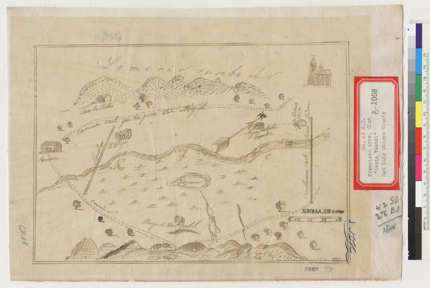
Diseños
The hand-drawn grant maps filed with this claim (1 held).
Sources
- Boundary & land-case data: ECAI/UCSD Spanish & Mexican Land Grants (via the California Land Grants ArcGIS project)
- Land case file SD 042, Bancroft Library (digicoll)
Other grants in County
- San Gabriel (1845)
- San Gabriel (1845)
- Unnamed grant (SD 058) (1845)
- Alcatraz (1843)
- San Gabriel (1845)
- 500 varas by 250, near San Gabriel (1843)
- San Gabriel (1843)
- San Gabriel (1846)
- Prospero (1843)
- San Gabriel (1842)
- Mesa De Ojo De Agua (1833)
- San Gabriel (1845)
- Potrero Y Rincon De San Pedro De Reglado (1838)
- Potrero Chico (1844)